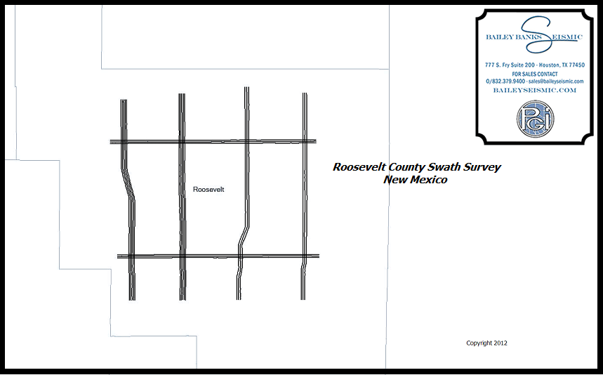
CLICK HERE to download and print map (RooseveltMap.pdf)
Roosevelt County Survey
Date Acquired: 1982
Instruments: 192 Channel Geocor IV
Sample Rate: 2 msec
Record Length: 2 sec
Fold: 96
Station Interval: 55 feet
Group Interval: 55 feet
Energy Source: Vibroseis
Reprocessing Completed: 1984


